by Conrad Swanson, The Seattle Times
This is a simple question with perhaps not so simple an answer.
Scientists do expect rising global temperatures to influence the weather patterns known as La Niña and El Niño—but just how strong that influence will be remains unclear. Much will depend on the many other variables that play a part in our daily weather and long-term climate.
Those factors include natural variability, competing weather patterns, location, geography, and even the chemistry of the ocean.
What are El Niño and La Niña anyway?
Before we dive into the nuance, let’s start with the basics.
During El Niño years, warm Pacific Ocean waters near the equator push warm, tropical air into our region. The pattern is most noticeable in the winter months and generally means a warmer, drier season.
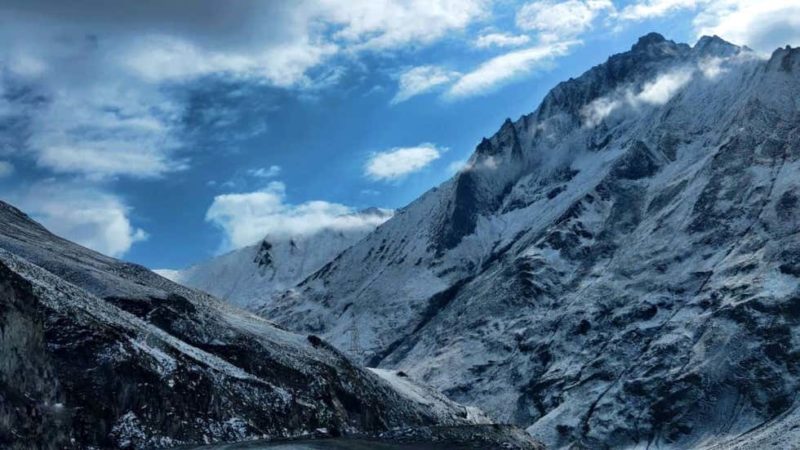
We’re currently in an El Niño year, so you might be noticing some of those effects. Mountain snowpack is down across the board (though there are other factors at play as well). Seattle had its warmest December on record, followed by another record-setting warm week in January.
The pattern is waning now, though, and meteorologists expect La Niña to take its place.
Think of La Niña as the mirror image to El Niño. Cool ocean waters in the tropics push colder air into the Pacific Northwest. Again, most noticeable during the winter months, it generally makes for a colder and wetter season.
Of course, these patterns hit each region across the continent differently, said Dennis Hartmann, a professor of atmospheric sciences with the University of Washington.
For example, La Niñas tend to mean more tornadoes and hurricanes for the Southeast United States and drought for the Southwest. The effects in the Pacific Northwest are relatively modest, Hartmann said.
“It’s not like the coast of South America, where an El Niño shuts down the fishery,” Hartmann said.
How does climate change factor in?
Put simply, climate change—caused by humans burning fossil fuels—is warming the atmosphere. So it’s likely to compound the warming effects of El Niño and lessen the cooling brought on by La Niña, said Aaron Levine, a research scientist with UW, who holds a doctorate in meteorology.
Say, for example, the average temperature for a future January in the Pacific Northwest might trend a degree hotter than normal because of climate change, Levine said. If El Niño conditions also hit that year, we might expect that pattern to boost the temperature half a degree as well.
The two effects would combine for a January that’s 1.5 degrees higher than normal, Levine said.
That’s a simplified version, for the record. These things don’t happen in a vacuum and never work out quite so neatly.
Consider the same scenario on the other end of the spectrum.
If climate change would raise the average temperature for January a degree above normal and La Niña would lower the temp half a degree, then combined we’d see a month that’s just half a degree higher than average.
Still trending hotter—because of climate change—but a La Niña year would lessen that trend, if only for a few months.
On an individual level you’re probably not going to notice this change all at once, Levine said. These patterns—and their trends—are measured in decades, not on a daily or even an annual scale.
There’s also the bigger picture of whether climate change will increase the frequency or intensity of El Niño and La Niña patterns, said state climatologist Nick Bond, also with UW. But the data isn’t yet clear.
Like so many other things related to climate change, we’re still learning, Bond said. But these are some of the questions climate scientists are asking and they’re actively looking for answers.